![]()
Mt Spickard: South Route
Fraser Valley Regional District County, British Columbia
Uploaded by Bivy Team
17 :55 hrs
7.7 mi
6337 ft
I
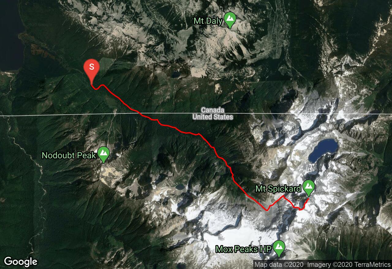
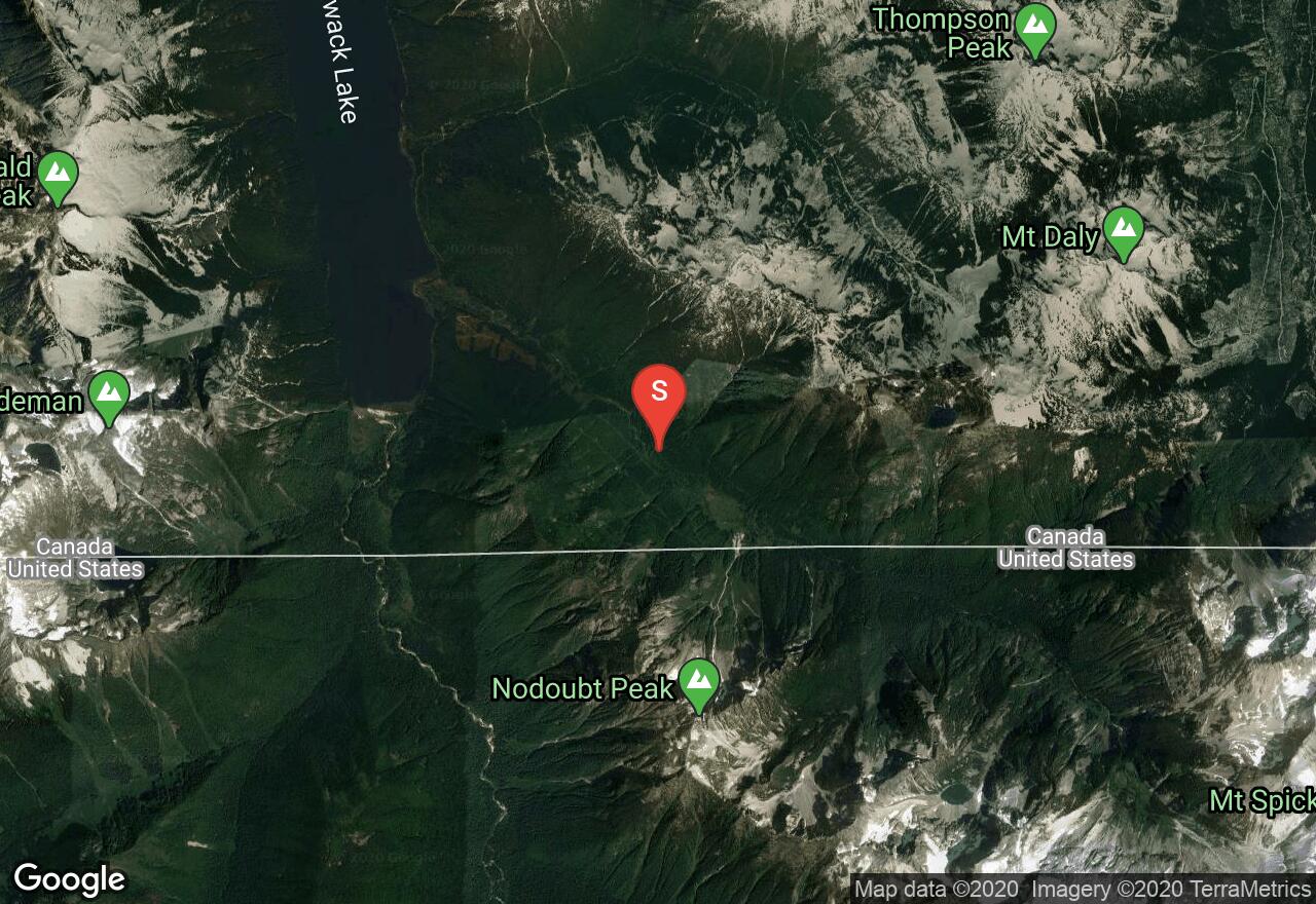
Mt Spickard is the highest peak of the Chilliwack Group of mountains in the northernmost portion of North Cascades National Park. The best way to reach the start of climbing on the South Route, the shortest and easiest way up, is via the Depot Creek Route, which begins near Chilliwack Lake in B.C. (the road to the trailhead is full of potholes; high clearance vehicles recommended.) Be sure to obtain the necessary camping permits and border documents before beginning your journey. The route up the valley of Depot Creek follows a logging road to the border, then a rough trail past a spectacular waterfall, along the edge of a large wetland, and up a lateral moraine to silt-laden Lake Ouzel, where a camp is normally established. From the lake, follow a large gully heading northeast until a break in the right wall of the gully is reached (near 6,850 feet.) Head southeast across loose scree to a small glacier southwest of the peak. Near the top of the glacier, locate a snow finger leading to an 8,000 foot gap in the south ridge of Mt Spickard, then follow the ridge directly to the summit, venturing onto the relativley low-angle south slope at times to avoid cliffs.
2 photos
[{"url":"https://images.bivy.com/lgMap/621014.jpg"},{"url":"https://images.bivy.com/lgTrailMap/621014.jpg"}]
Mt Spickard: South Route | Fraser Valley Regional District County, British Columbia
Mt Spickard is the highest peak of the Chilliwack Group of mountains in the northernmost portion of North Cascades National Park. The best way to reach the start of climbing on the South Route, the shortest and easiest way up, is via the Depot Creek Route, which begins near Chilliwack Lake in B.C. (the road to the trailhead is full of potholes; high clearance vehicles recommended.) Be sure to obtain the necessary camping permits and border documents before beginning your journey. The route up the valley of Depot Creek follows a logging road to the border, then a rough trail past a spectacular waterfall, along the edge of a large wetland, and up a lateral moraine to silt-laden Lake Ouzel, where a camp is normally established. From the lake, follow a large gully heading northeast until a break in the right wall of the gully is reached (near 6,850 feet.) Head southeast across loose scree to a small glacier southwest of the peak. Near the top of the glacier, locate a snow finger leading to an 8,000 foot gap in the south ridge of Mt Spickard, then follow the ridge directly to the summit, venturing onto the relativley low-angle south slope at times to avoid cliffs.